SoL goes ULTRA 29/03/14

It has taken far too long to get this blog on the go. The first Speed of Light (run leaders') Ultra distance run took place last Saturday. We were tackling 32 miles of the Southern Upland Way, from Cockburnspath to Lauder. Unusually, I had a pressing job the following day (and Monday / Tuesday) so am only now doing the write up. It was largely a huge success and entirely down to Kenny Valentine who deserves a medal for the organisation and transportation, to say nothing of the support and buffet. And for all his hard work he didn't really get to run much of the route with us. (Although for a while it looked as if we would all be required to scour the hills into the night to find the bodies of those gone astray.) But let's put this in order...

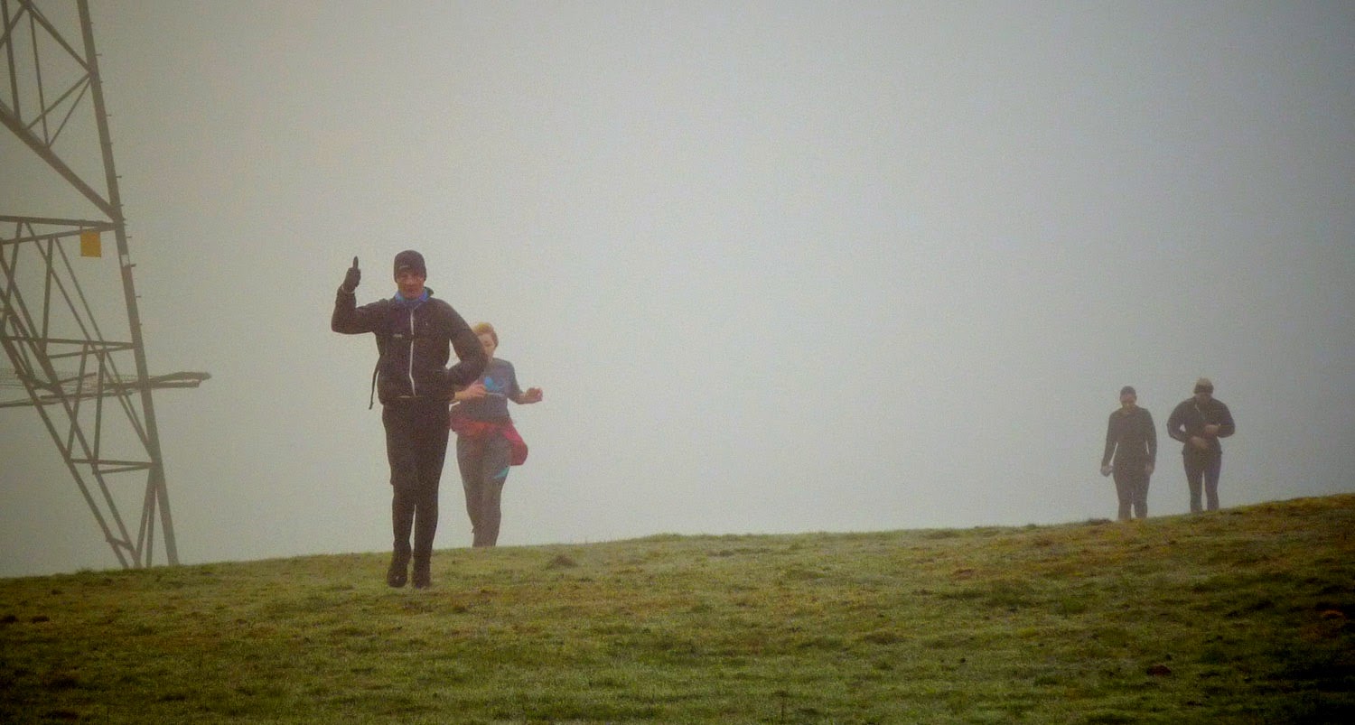
Tim prays for the misty cold weather to improve.
Big thanks to Fiona (sister of CatMap) who picked me up BEFORE 7am and got us all to Bonnyrigg. From the word go there were issues as the original transit van had MOT problems, so we all bundled into two people carriers which Kenny and his folks had come up with. Kenny's parents have spent years as support crew for Kenny and so are familiar with the process of hanging around junctions where trails cross roads, handing out food and drinks (in all weathers) to weary looking runners. So we couldn't have asked for better support crew.

A sculpture at Cove Bay, where we started, marks the greatest tragedy in local history. It depicts the women and children watching helplessly while Pease Bay is despoiled with caravans...

the horror

From Cove Bay we followed the cliff top path round to Pease Bay then out the back of the caravan ghetto. Lots of steps to climb as the path slowly climbs inland from the coast.


The mist prevents a coastal view.

8 miles in and the support crew meet us as the route crosses the main road. This is good news for Jo who has been carrying the kitchen sink and can now re-pack. A moment for refreshments then we head up the hill behind the van, possibly the longest stretch of tarmac on the route.

As we climb the mist gets worse.

At least there are plenty of signs to follow!
The route is pretty well marked but I was very glad I had done a recce (in good weather) a few weeks before. Although today we are doing the route in reverse I had followed the map back then so closely I didn't have to refer to it once. A bit like memorising a piece of music - then playing it in reverse.

10 miles in and Abbey St Bathans.


A few miles of trails through the forest.

When we came off the forestry trails I waited to make sure the back markers took the right route. However the subsequent hill climbs made a split between the front runners and the back of the field. There was a long misty climb to the high point (below.)

The front group stood and waited here till we started shivering then decided to move on to get warm again. The sign pictured had three named directions, none of them the SUW, however the plaque and directional arrow on the main upright was the clue to which way we should proceed. The next sign was also tricky to find and it really helped that I had a good idea of where we should look for it. We realised the following group may have difficulties but they weren't insurmountable and they had the experienced Don bringing up the rear to keep them right. Turns out not one of the 5 had a map, although it's unlikely with the mist obscuring any ref points that a map would have solved their problems.


The right course follows a line of trees then a horrible red clay path.


As we approached Longformacus, Fiona M, Cat M and Corrie ran out to meet us. (Not to be confused with Fiona M, Cat M, Don (at the rear), Jo and Lisa, who are destined to walk in a big misty circle for another hour and a half, climbing into and out of a Christian Retreat for Alcoholics, after getting directions from a gent more interested in finishing his toast than jumping in his car and giving the ladies (and Don) a lift to Longformacus, which would have been the right thing to do.

Kenny and the support crew met us at Longformacus. Michael and the three above joined us for the second half - the more scenic and off-road part of the journey. After refreshments we set off just after 1pm. Kenny got on his bike and set off to look for the second group. I think he probably ditched his bike and ran sections of the route back to where the second group had last been seen. He reluctantly returned to the vehicle considering just how he would alert the mountain rescue if the girls (and Don) were not there. Happily (after their adventures, and going quite a bit off piste) they had found the road to Longformacus and followed it to the van. Kenny was spared further worry.

Lost! (Thanks to Lisa H for the photo.)
Apparently (reported Fiona on fbook) Cat is trying to put a positive spin on a lost cause saying to Jo "At least your wedding dress will fit you now"!


Fiona was not very impressed that my photography skills consist mainly of jamming the camera up to some foliage and shooting a pic (not even slowing down). Do it often enough, even in bad weather, and with a small amount of post production you can get ok results.

There were a number of potential hazards. Luckily most were behind gates or enclosures and at the one farm with particularly scary farm dogs, I remembered to take the escape route dogleg through the (muddy and stumbling) field which I missed on the recce. Just as well, as one of the weapon dogs was loose in the yard.

At Watch Water. (Reservoir jogs.)


Twin
Note Fiona has the guest book out the box to record our visit. All the chocolates had been scoffed and some rain had got in. The "sloe gin" was still there untouched since I had been there at the beginning of the month.

And one on self timer.
Unfortunately the view was crap.

The rest of the journey is mostly downhill or flat.


OK, a bit of uphill into the woods.


"Ugly" bridge

"Ugly" sign boasting of construction of ugly bridge.

The sun (top right) tries to break through. (But fails.)

Hare

I got into trouble for suggesting we had only to make the top of the next hill and then roll down into Lauder, whereas I had forgotten the dip down to the stream and pond before the rise proper.

Greylags?

This was the last climb.


All downhill to Lauder - if you could see it.


Kenny had travelled in the van to Lauder (with group LOST) and ran out to meet us. It was a relief to hear we wouldn't be needing the Mountain Rescue.


The car park and finish around 32 miles later. We still managed to lose 2 or 3 of the company on the last couple of turns.


A Medal and Trophy!

Kenny rounded up our lost runners.

This was the very welcome sight as we finished.
It was a great day out despite the rather dull weather - the miles flew past what with all the banter. Well done to those (Tim and Paul) who had never gone beyond marathon distance and managed to up their game without too much pain or difficulty. The Valentines were brilliant and we owe them a huge debt of thanks for looking after us so well and presenting us with medals and trophies at the finish when really it was them that deserved the praise. Next time Kenny is running not organising. Hopefully next time the weather will be a little brighter. We should think of suitable venues. The Southern Upland Way was a really good mix of trails and hills, tarmac and mud, and most of us enjoyed a route along which we wouldn't normally run. Great day out.
Here is my previous recce which shows the route in sunshine.
No comments:
Post a Comment